How visibility is measured
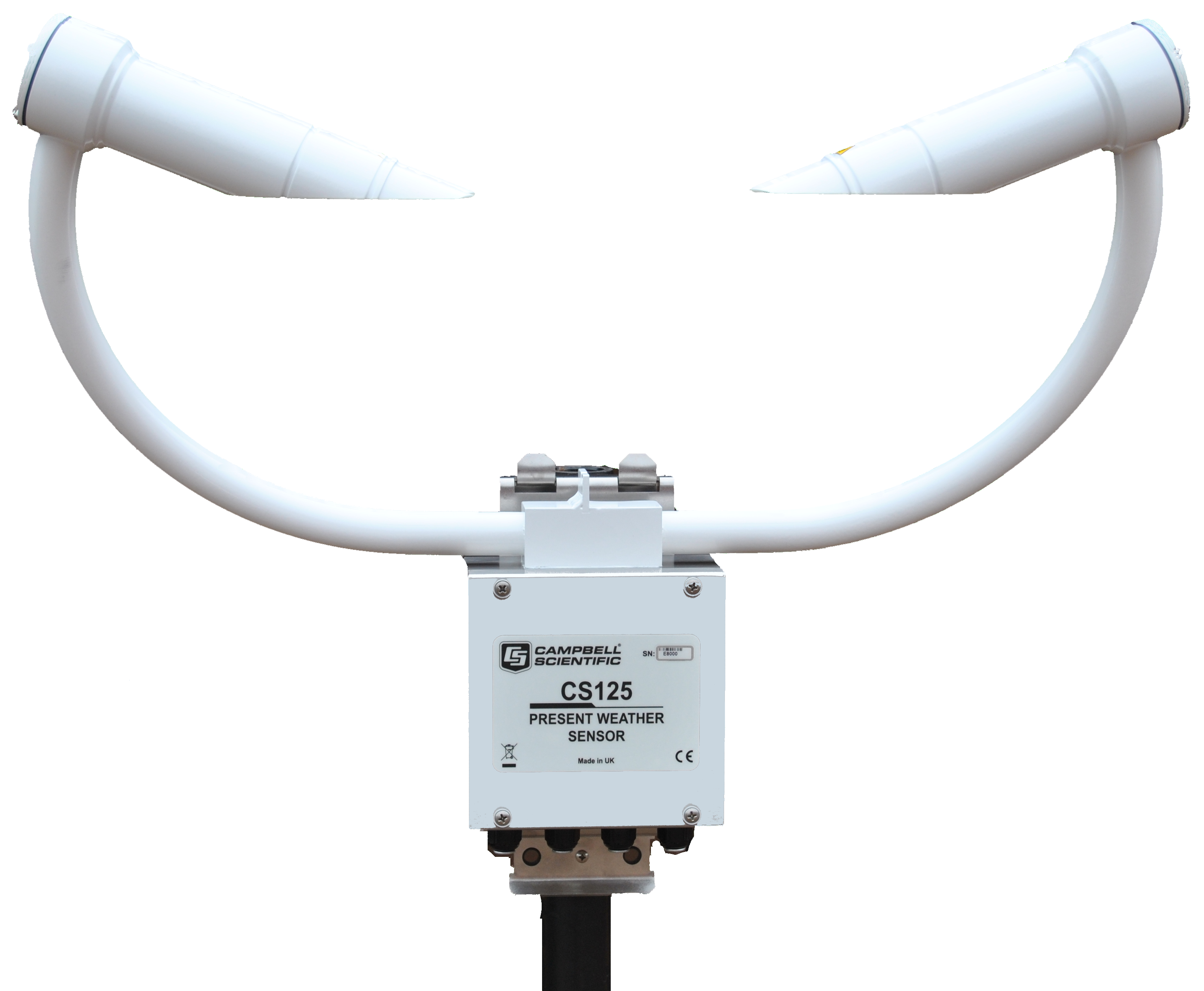
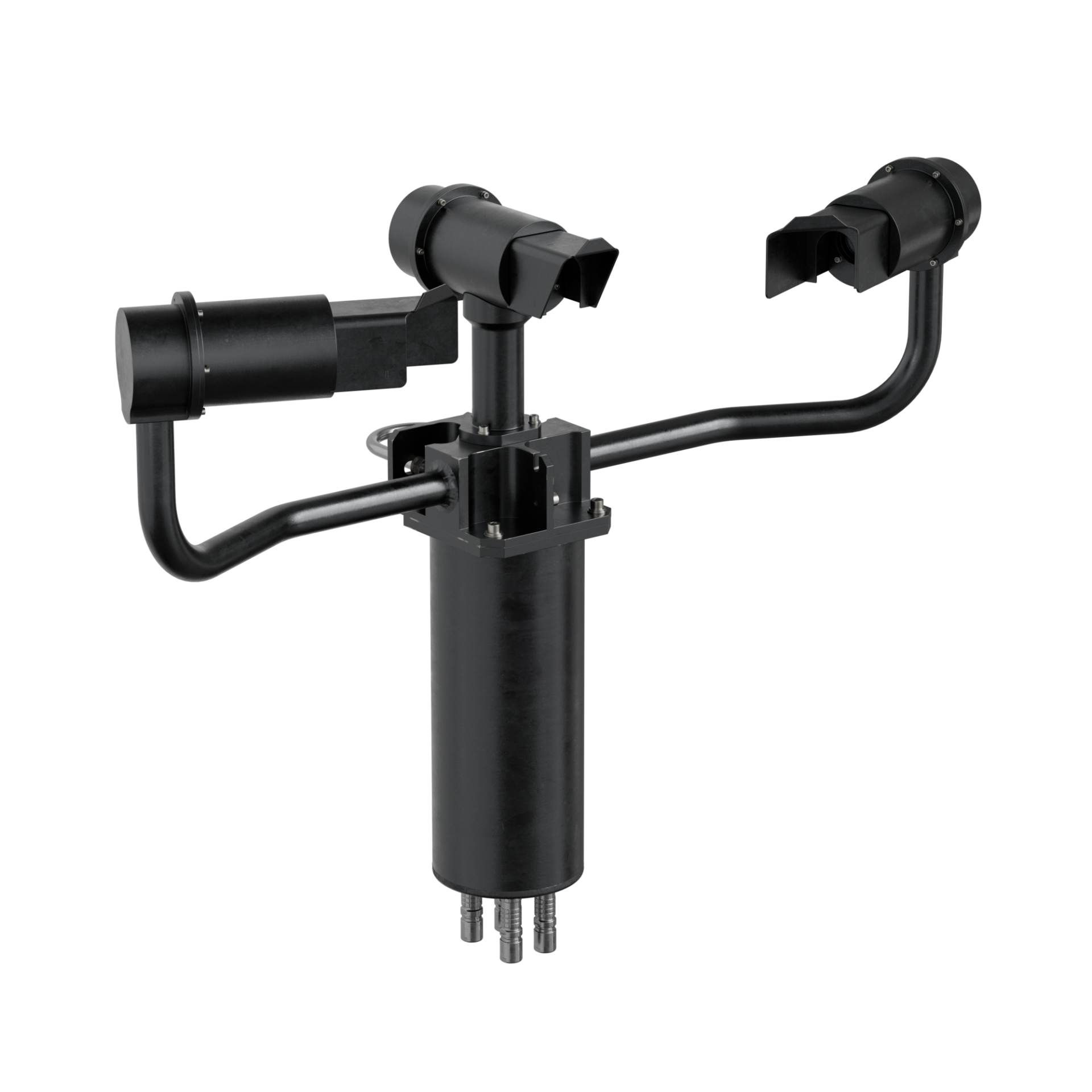
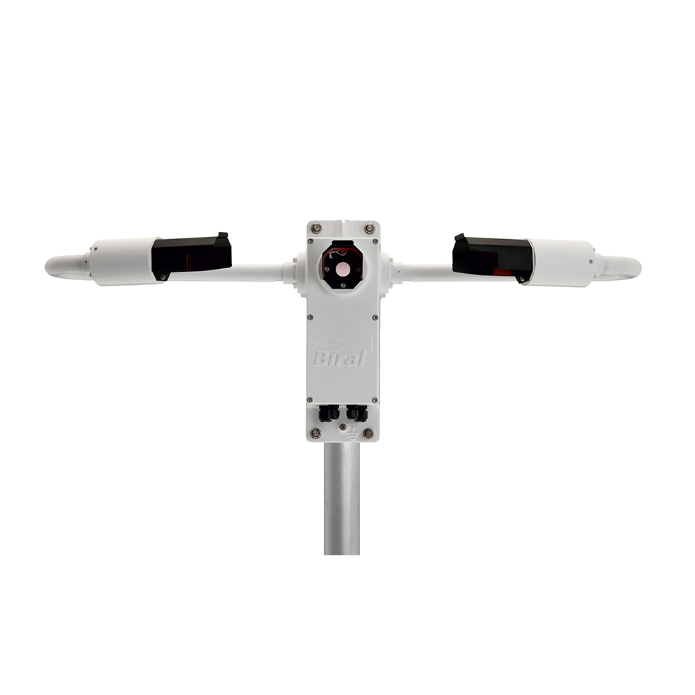
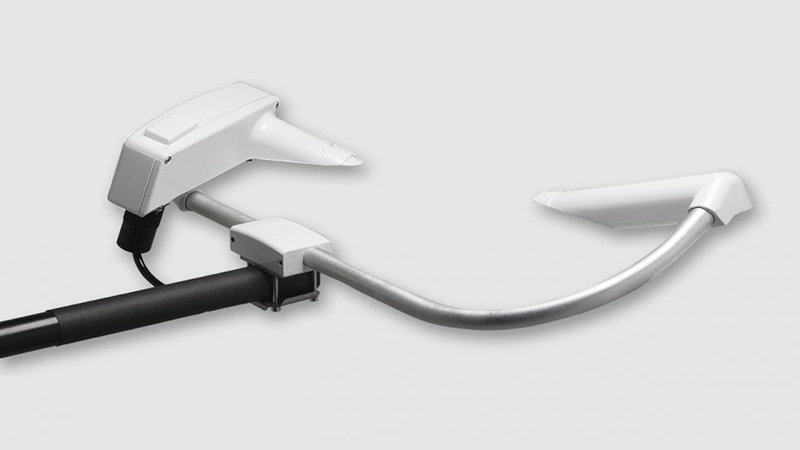
A forward-scatter sensor shines infrared light across a small sample of air and measures how much is scattered forward by whatever is in it — fog droplets, drizzle, snow, haze. From that it derives the Meteorological Optical Range (MOR), the standard measure of visibility. A backscatter instrument does the same from the other side of the sample.
The sample is small, so siting is everything. The sensor reports the air immediately in front of it, and that reading is then trusted to stand for the air over the whole deck. Exhaust plumes, hot or dry air outlets and anything else that alters the local air will alter the number.
Present weather
The same instrument can identify what is falling, not only how much it obscures. A present-weather sensor reports precipitation type — rain, freezing rain, drizzle, freezing drizzle, mixed rain and snow, snow and ice pellets — against the WMO code table, which is what an aviation weather report needs alongside the visibility figure.
Ambient light
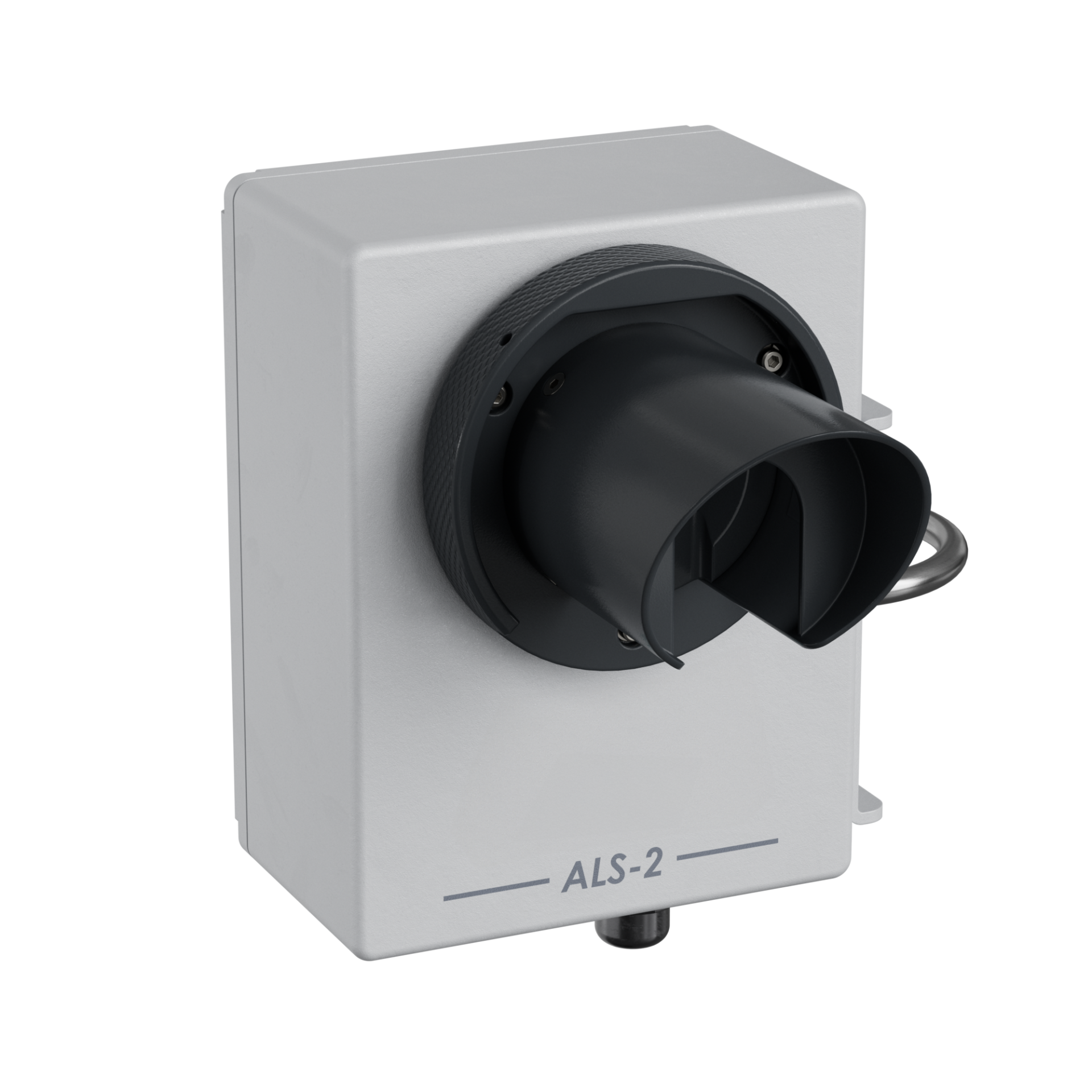
Runway visual range is not visibility alone: the same fog looks quite different against a bright sky and a dark one. An ambient light sensor measures background luminance to FAA and ICAO guidelines so that RVR can be computed properly.
What matters offshore
- Vibration and shock. These are optical instruments with lenses and precise internal alignment. Offshore they need shock absorbers in the mount, and they should not be bolted to something that rings.
- Contamination. Salt film and dirt on a lens read as reduced visibility. Low-maintenance lens designs, hood heating and window-contamination monitoring are what keep the reading honest between service visits.
- Shadowing. Structure in the optical path, or in the path of the weather, distorts what the sensor sees. Position is agreed against the installation, not assumed.
- Range. Ranges to tens of kilometres are available, but the figure that matters operationally is at the low end — the difference between 600 m and 1,500 m is what closes or opens a deck.
Cloud height
Cloud base is measured by a different optical instrument, a laser ceilometer, and is covered on its own page — see cloud height sensors.