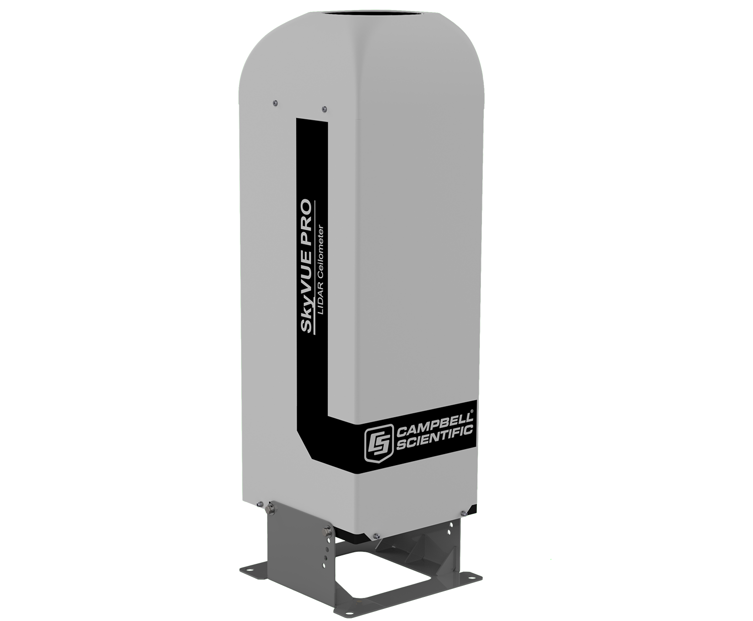
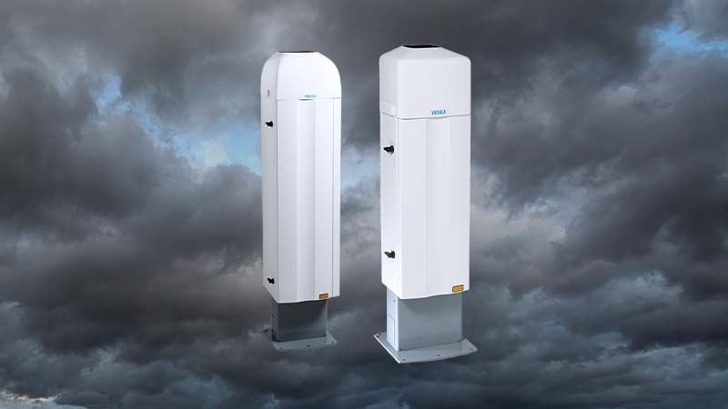
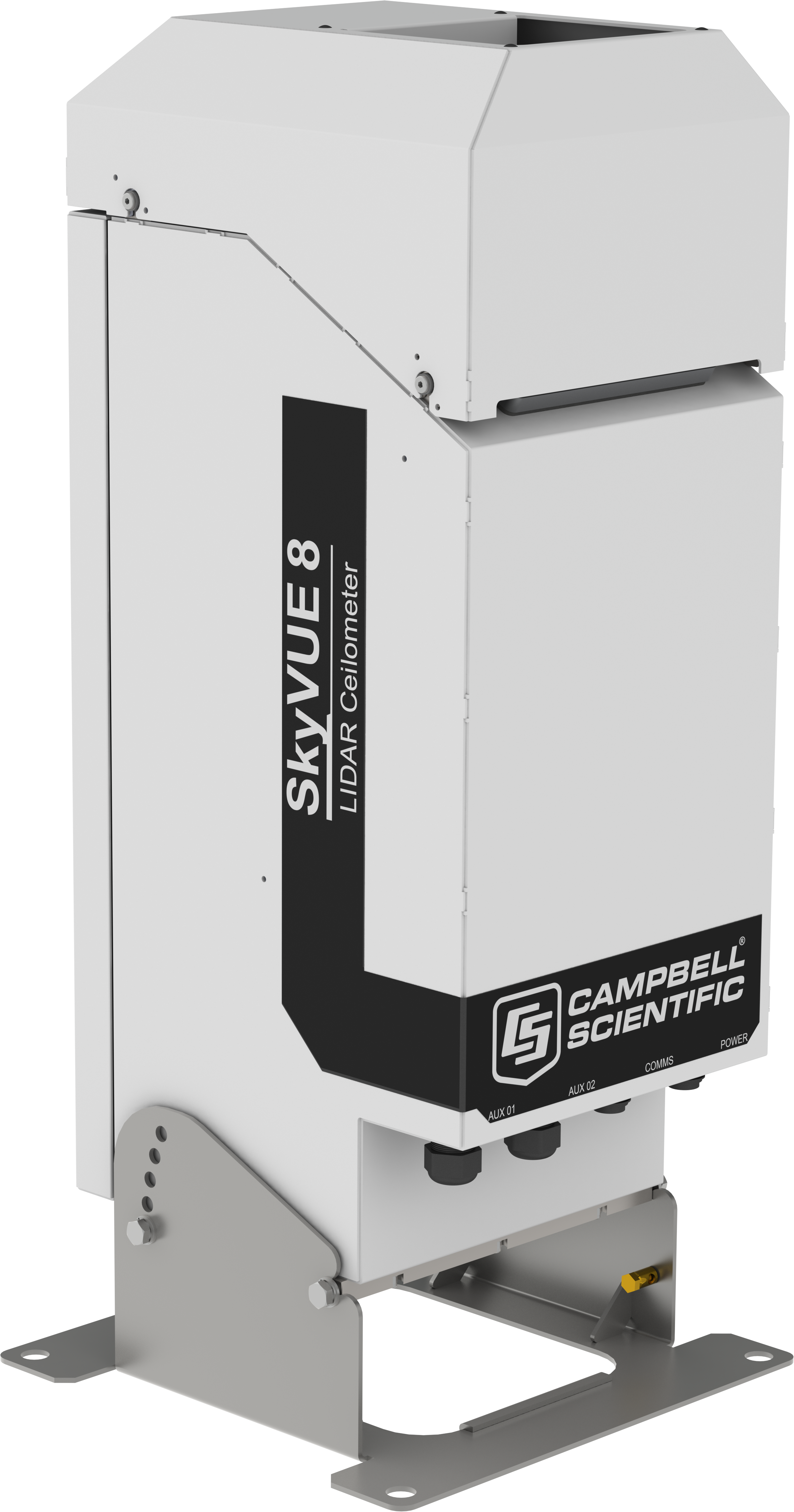
How a ceilometer measures cloud base
A ceilometer is a laser LIDAR pointed straight up. It fires short, powerful pulses into the sky and times the light that comes back. Cloud, precipitation and anything else that scatters the beam returns a signal, and the delay gives the height it came from.
The same profile resolves more than one layer, so a deck can be told there is broken cloud at 900 ft with a second layer above it. When the sky is obscured altogether — thick fog, heavy snow — the instrument reports vertical visibility instead of a cloud base, which is the figure an approach needs in those conditions.
Most instruments also offer a cloud amount function, reporting how much of the sky each layer covers rather than only how high it is.
What matters offshore
- Range. Standard-range units cover the heights that matter for helicopter operations; a high-range instrument reaches cirrus cloud and gives a better picture of the whole column.
- Siting. A ceilometer looks straight up, so anything above it — a crane boom, a flare tip, a deck extension — will be seen as cloud. Exhaust plumes and hot or dry air outlets distort the profile in the same way.
- Vibration and shock. These are optical instruments with lenses and precise alignment. Offshore they need shock absorbers in the mount, and they do not like being bolted to something that rings.
- Hazardous area. Every ceilometer we supply is a safe-area instrument. There is no Ex-rated ceilometer, so placement has to be resolved against the installation’s area classification before anything else is decided.
- Integration. Serial output (RS-232, RS-422 or RS-485) into a helideck monitoring system or an environmental monitoring system, or a standalone unit with its own software.